


Services
Solutions
Fulltext
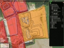
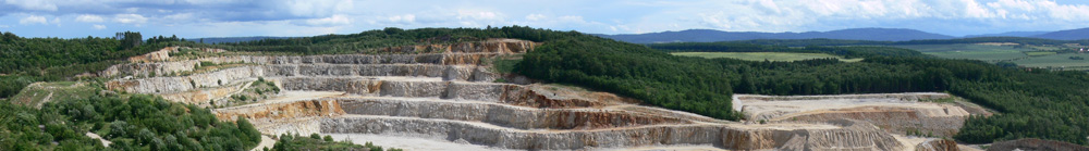
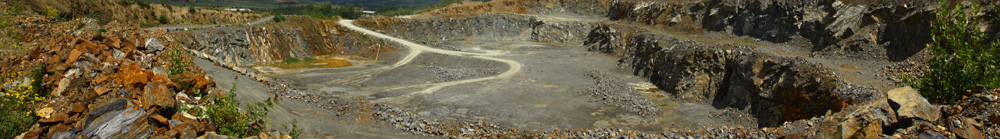
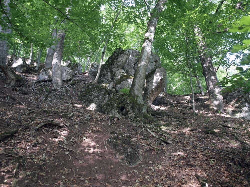
The Beluša Deposit
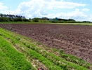
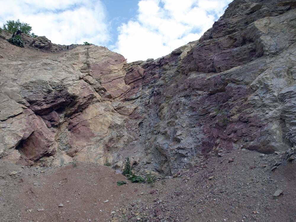
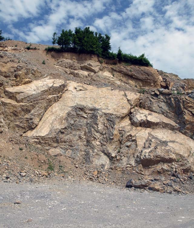
The reserved Beluša deposit is located cca. 2.5 km southeast of the village of Belušské Slatiny in the Púchov District of the Trenčín Region. This deposit is developed by a 9-bench quarry, which is located on the southwest hillside of the Pasienok elevation (rising to 503 m asl.). The deposit comprises part of the Butkov Outlier that constitutes a morphologically distinctive ridge that extends in the W-E direction (with the highest point being Butkov - 764 m asl.). The deposit belongs to the eastern segment of the outlier that is separated by the deep gorge of Slatinský Creek. The elevation of the terrain ranges between 325 and 517 m asl.
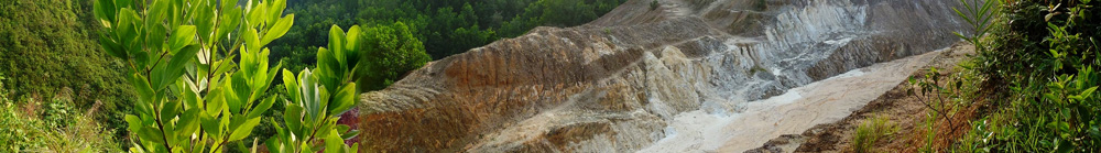
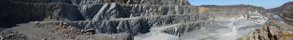
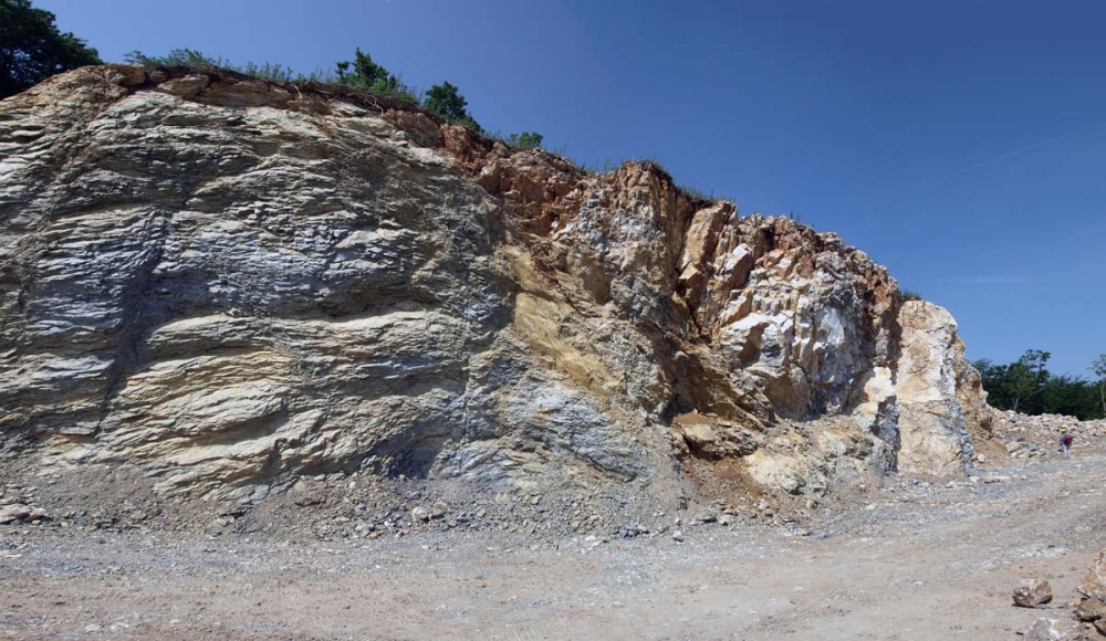
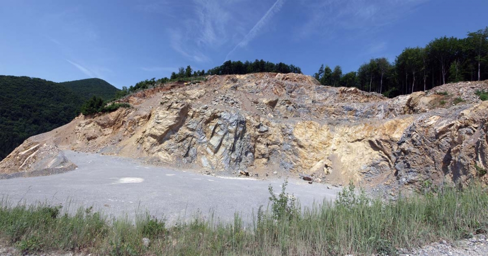
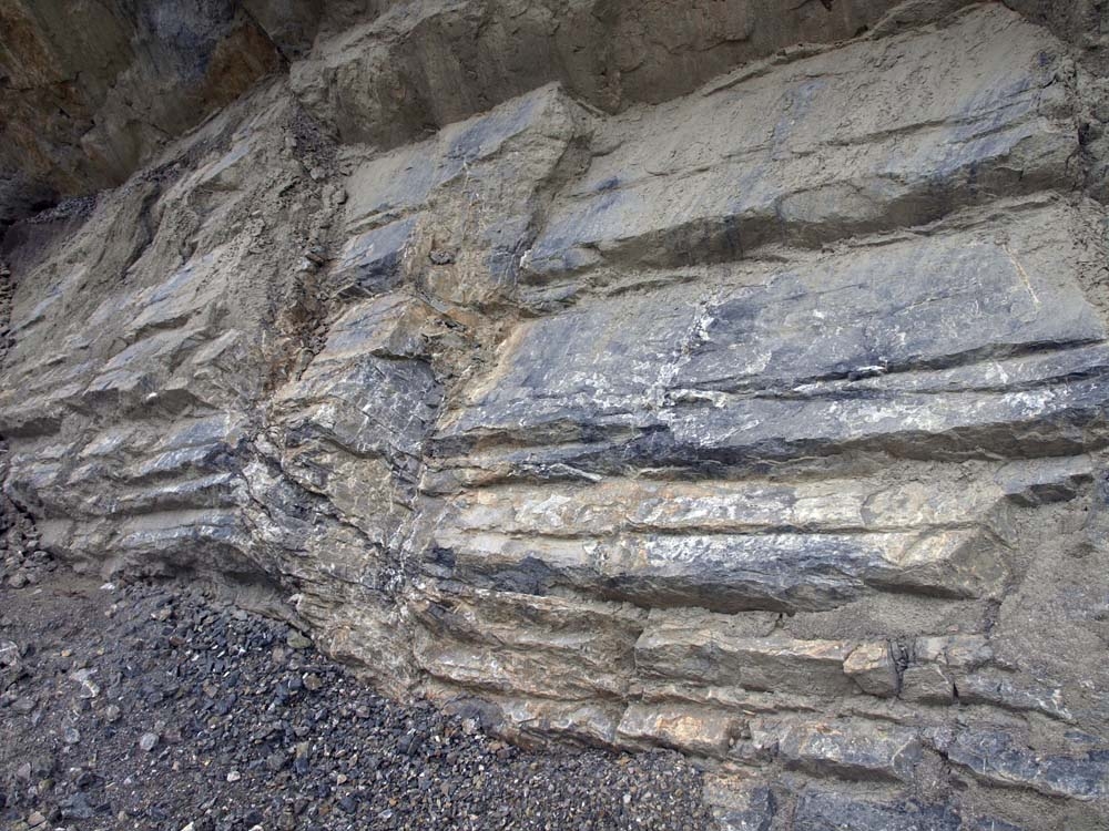
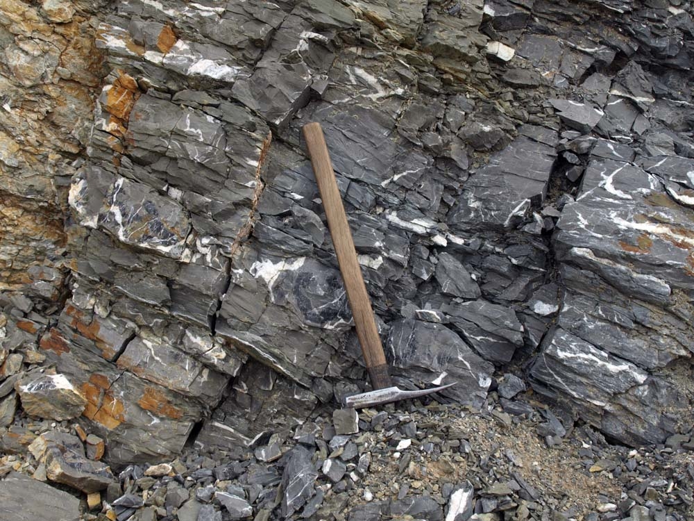
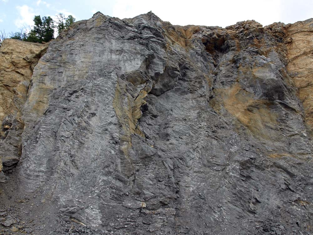
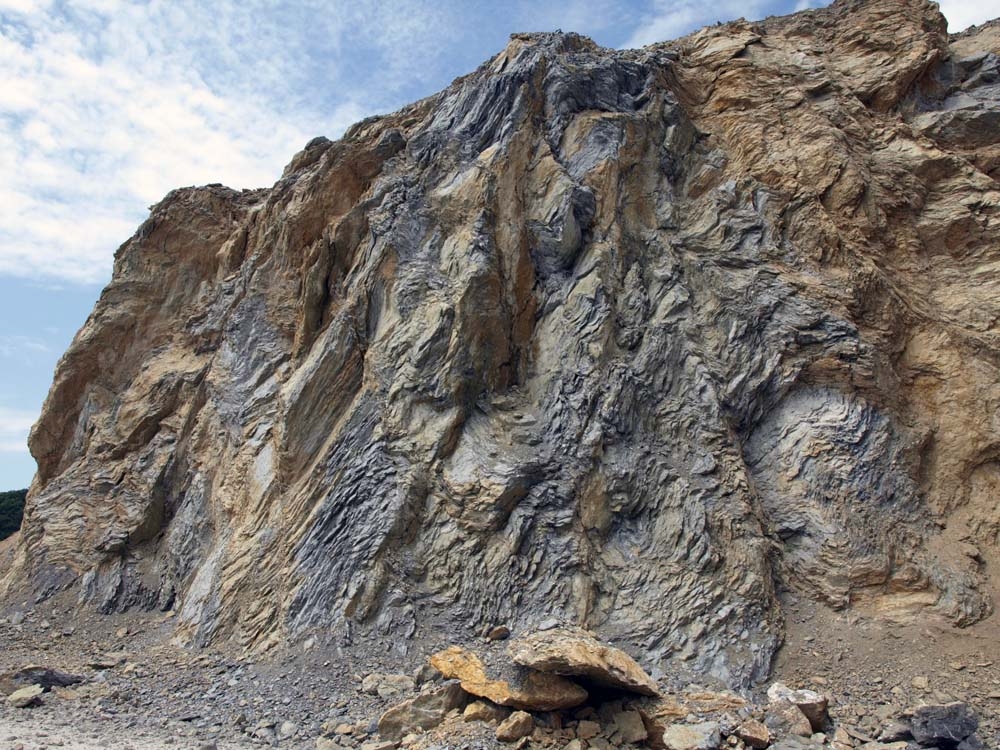
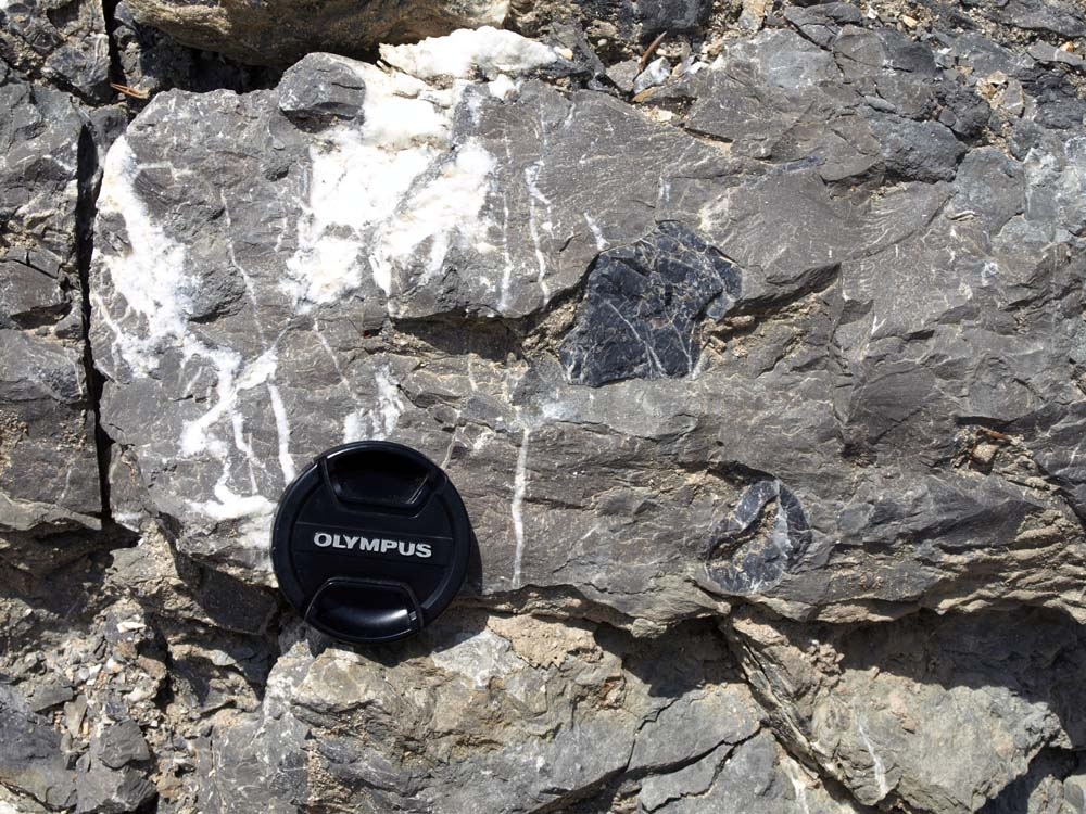
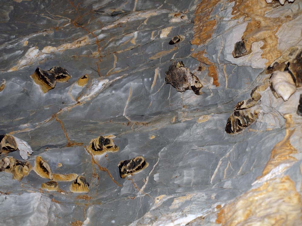
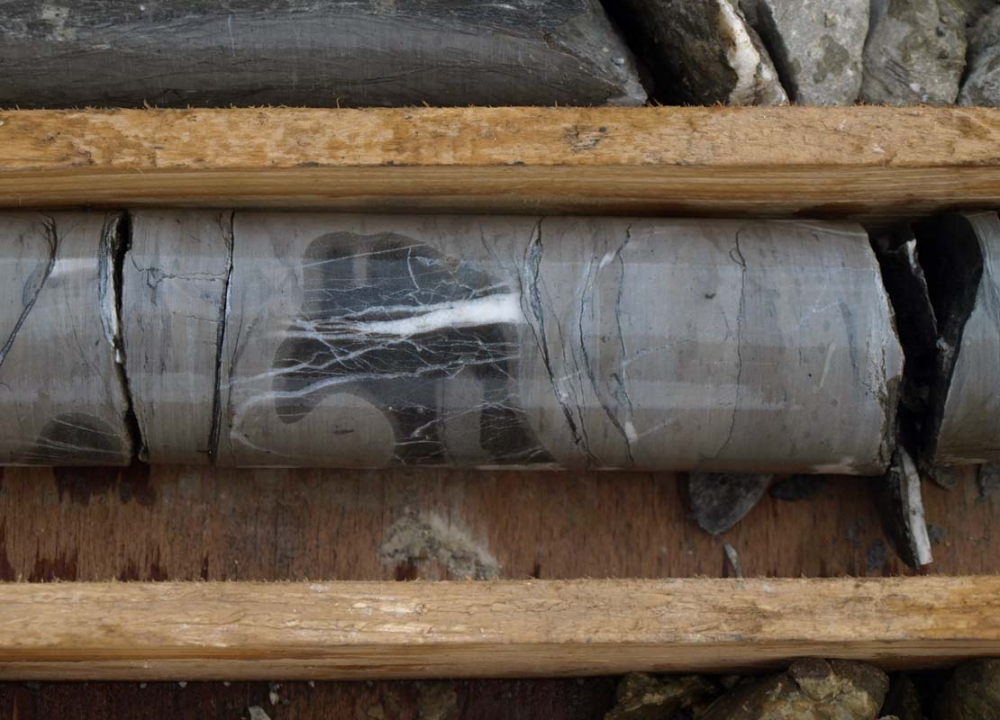
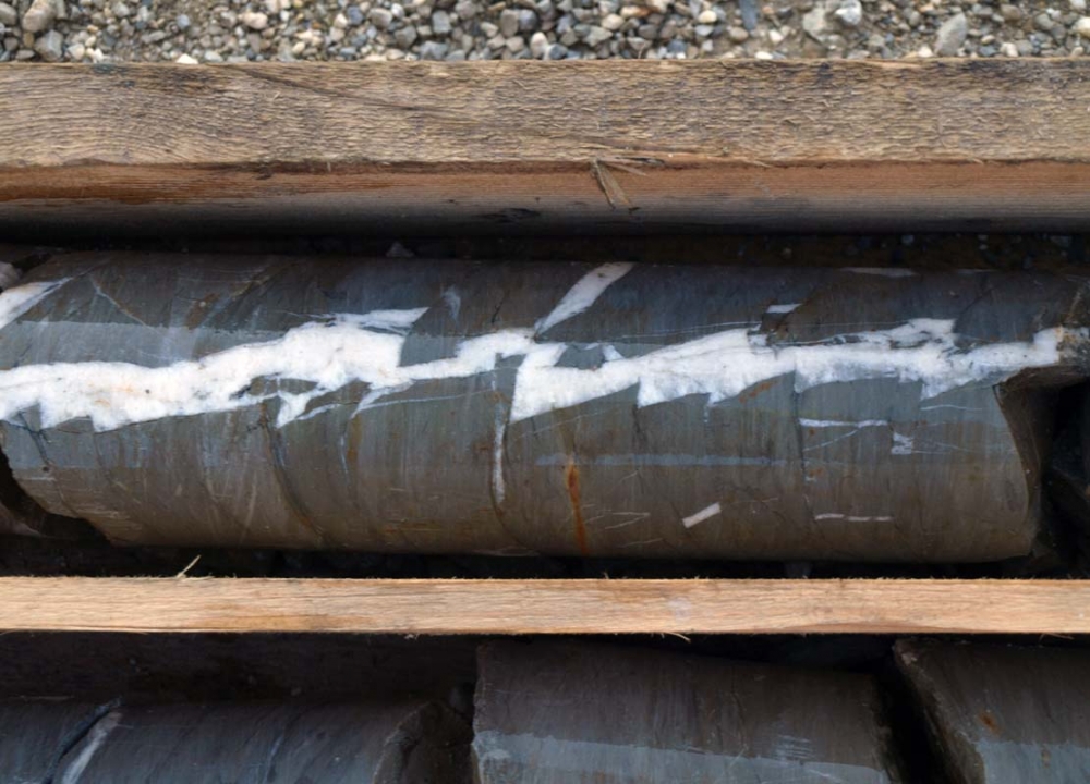
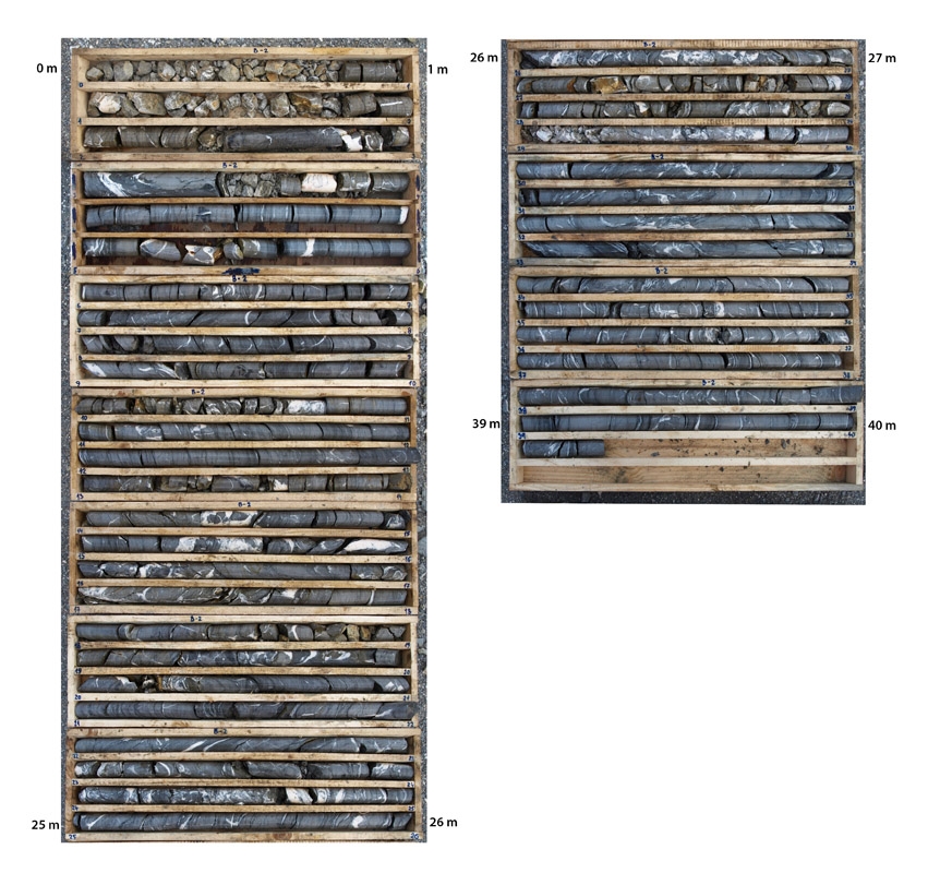
The rocks located on the deposit belong to the Manín Nappe of the Strážovské Hills. The Beluša Deposit is composed of various types of limestones of the Jurassic and the Cretaceous ages, which build the eastern end of the Butkov Outlier. The oldest is Jurassic sandy-crinoid limestone with a variable proportion of marl, siliceous limestone and spongolites that are located on the NW and western slopes of the deposit. Also, in the overburden, there are brownish sandy-crinoid and nodular Dogger-Malm limestones of a variable, max. 25 m, thickness. In the direction of the overburden the rock composition passes through light brown limestone banks (12 m) and continues as a sequence of grey, thin, plate-like, marly limestone strata with cherts and also inserts of marly claystone (Titon – Neokom). The uppermost stratigraphic features of the limestone formation deposit are the grey organodetritic Barre aptienne limestones, massive, solid to fine-grained, that in their topmost positions segue to biomicritic chert limestones (Barremian - Lower Albian). The individual limestone formations also comprise positions and middlings of marl claystone, shale, shaley clay limestone, infills of cracks and fault zones with tectonic debris, which constitute an unusable part of the deposit.
The relations between individual strata are very complicated due to the complex folded-fault structure of the outlier. The tectonic style of the deposit corresponds to the intensively folded areas that are permeated with numerous fracture lines (i.e. reverse faults) in a N-S to NW-SE direction. From a technological point of view all the rock types comprise a single deposit body, the thickness of which ranges between 0 and 187 m. The base of the deposit at a level of 330 m asl. is defined by the hydrogeological situation. At the deposit harmful components are represented by inserts of claystone and chert and by the infill of the karst cavities.
 |
 |
 |
 |
 |
 |
 |
 |
 |
 |
 |
 |
 |
 |
 |