GET logo
  • News
  • The Company
    • History of the Company
    • Activities of the Company
    • Clients of the Company
    • Membership in Professional Associations
    • ISO Certificates
    • Careers
    • Downloads Available
  • Services
    • Geology
    • Mining Projects
    • Surveying and Geodesy
    • The Environment
    • Data Processing
    • Geographic Information Systems
    • Land Use Planning
  • Solutions
    • For the Mining Industry
    • For the Construction Industry
    • For Design and Architectural Offices
    • For Municipalities, Cities, Regions
    • For the Authorities of the Czech and Slovak State Administrations
    • For Agriculture and the Food Industry
    • For Churches and Religious Communities
  • Projects
    • Projects in the Czech Republic
    • Projects Abroad
  • Contacts
    • Headquarters
    • Branch Office Brno
    • Branch Office České Budějovice
    • Branch Office Liberec
    • Branch Office Teplice
    • Branch Office Úpohlavy
    • Slovak Republic
  • Čeština

  • Čeština
  • English


Services

  • Geology
  • Mining Projects
  • Surveying and Geodesy
  • The Environment
  • Data Processing
  • Geographic Information Systems
  • Land Use Planning

Solutions

  • For the Mining Industry
  • For the Construction Industry
  • For Design and Architectural Offices
  • For Municipalities, Cities, Regions
  • For the Authorities of the Czech and Slovak State Administrations
  • For Agriculture and the Food Industry
  • For Churches and Religious Communities

Fulltext

  • LETECKÉ SNÍMKOVÁNÍ

  • GEOLOGICAL DOCUMENTATION

    Geological documentation of mining

  • PEDOLOGY

  • AGRICULTURAL LAND RESOURCES

    The withdrawal of land from the agricultural land resources

  • Predictor – LimA

    Noise measurement and acoustic studies

  • GEOMINE

    GIS application for mining industry

Geographic information systems

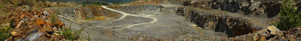
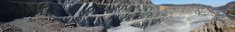
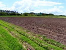
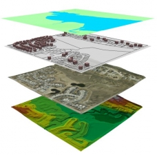
The G E T s.r.o. Company carries out a wide range of tasks in the area of the preparation of data for geographic information systems (GIS). Our staff has wide experience in this dynamically developing field. GIS is an information system that is designed to collect, store and visualise geographic data, which are also supplemented with a database of the text data. The basis for the utilisation of GIS is the analysis of the data acquired in this manner.


What we offer:

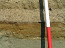
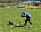
  • Data collection for GIS
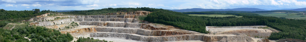
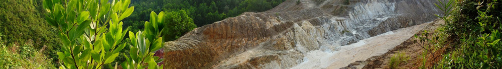
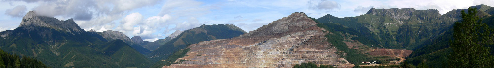
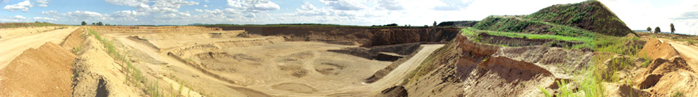
  • GIS for the needs of mining companies
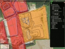
  • GEOMINE – An Internet solution for viewing, editing, sharing and archiving geographical data associated with mining
Geographic Information Systems

Head of the Department

Ing. Miloš Ječný, PhD. Tel.: +420 723 773 003 E-mail: jecny@get.cz


Send inquiry

Not binding inquiry


  • Geology
  • Mining Projects
  • Surveying and Geodesy
  • The Environment
  • Data Processing
  • Geographic Information Systems
  • Geometric plans
  • Land Use Planning
  • Projects in the Czech Republic
  • Projects Abroad
  • Services
  • News
  • Contacts

Copyright © 2014 GET s.r.o.
designed by SpinMedia.cz