GET logo
  • News
  • The Company
    • History of the Company
    • Activities of the Company
    • Clients of the Company
    • Membership in Professional Associations
    • ISO Certificates
    • Careers
    • Downloads Available
  • Services
    • Geology
    • Mining Projects
    • Surveying and Geodesy
    • The Environment
    • Data Processing
    • Geographic Information Systems
    • Land Use Planning
  • Solutions
    • For the Mining Industry
    • For the Construction Industry
    • For Design and Architectural Offices
    • For Municipalities, Cities, Regions
    • For the Authorities of the Czech and Slovak State Administrations
    • For Agriculture and the Food Industry
    • For Churches and Religious Communities
  • Projects
    • Projects in the Czech Republic
    • Projects Abroad
  • Contacts
    • Headquarters
    • Branch Office Brno
    • Branch Office České Budějovice
    • Branch Office Liberec
    • Branch Office Teplice
    • Branch Office Úpohlavy
    • Slovak Republic
  • Čeština

  • Čeština
  • English


Services

  • Geology
  • Mining Projects
  • Surveying and Geodesy
  • The Environment
  • Data Processing
  • Geographic Information Systems
  • Land Use Planning

Solutions

  • For the Mining Industry
  • For the Construction Industry
  • For Design and Architectural Offices
  • For Municipalities, Cities, Regions
  • For the Authorities of the Czech and Slovak State Administrations
  • For Agriculture and the Food Industry
  • For Churches and Religious Communities

Fulltext

  • LETECKÉ SNÍMKOVÁNÍ

  • GEOLOGICAL DOCUMENTATION

    Geological documentation of mining

  • PEDOLOGY

  • AGRICULTURAL LAND RESOURCES

    The withdrawal of land from the agricultural land resources

  • Predictor – LimA

    Noise measurement and acoustic studies

  • GEOMINE

    GIS application for mining industry

Data processing

Data processing also constitutes an integral feature of all the activities carried out by the G E T s.r.o. Company, i.e. of the geological works, the mining design and activities in the area of environmental protection. In addition to experts with many years of experience and practice in the field, our Company also has specialised software and hardware available for these fields of activity.

An integral feature in regard to the processing of computer data is, as necessary, also exporting the data to formats that can be applied using the software of the relevant contracting authority, i.e. our client.


visualization of 3D digital model

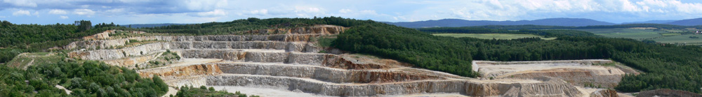
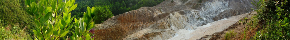
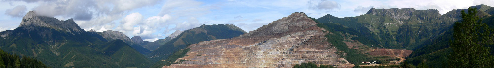
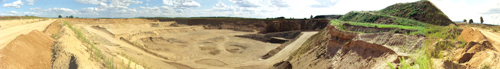
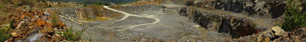
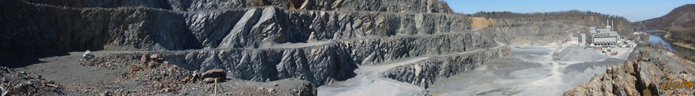
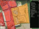
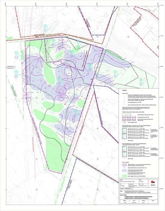
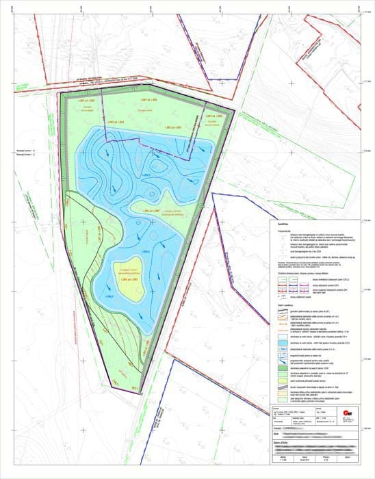
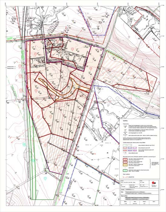
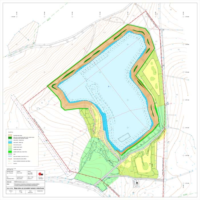
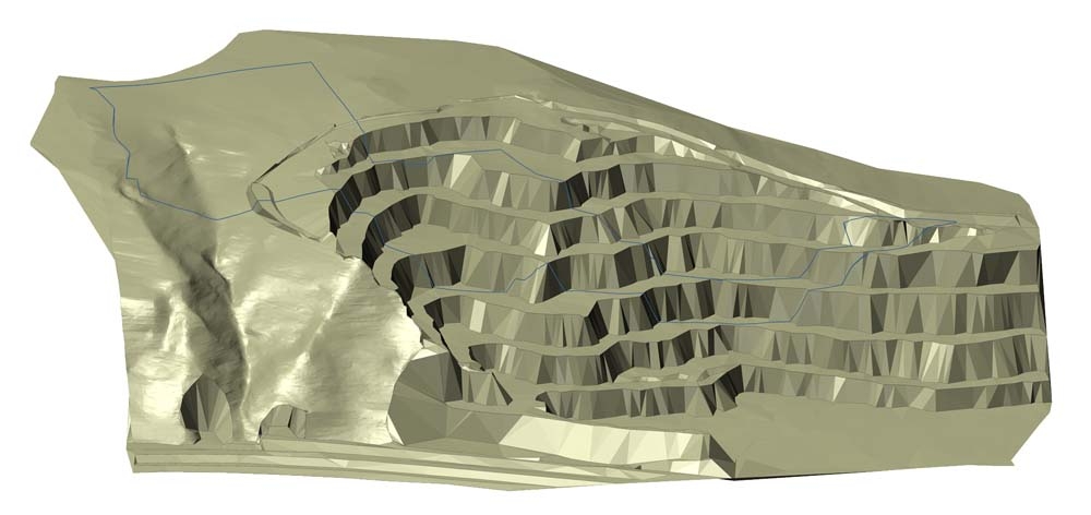
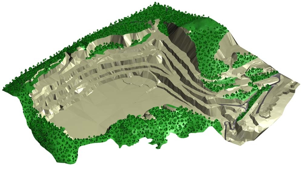
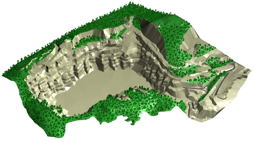
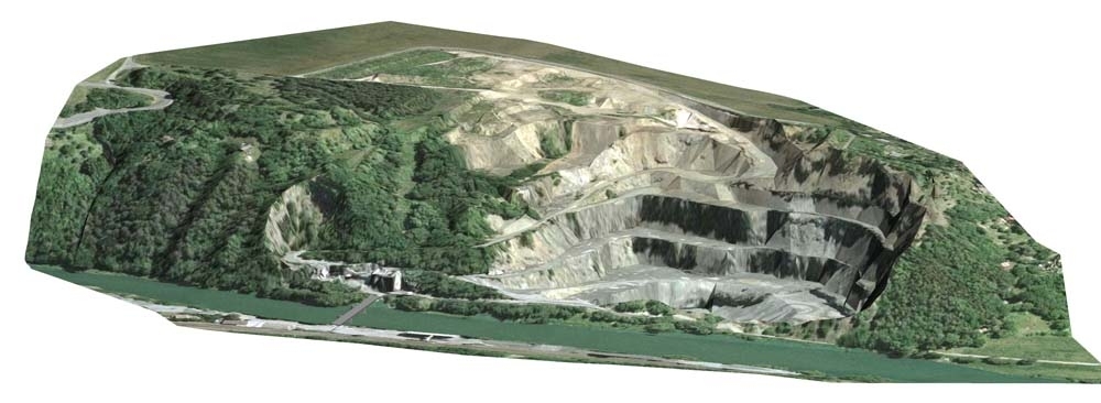
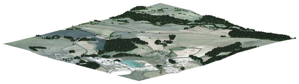
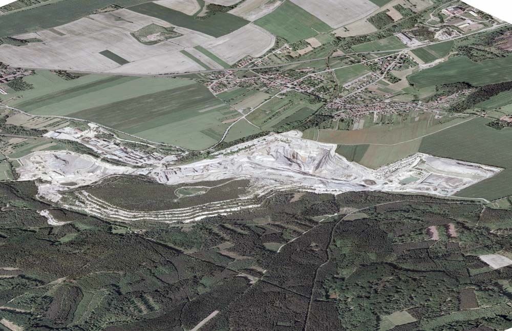
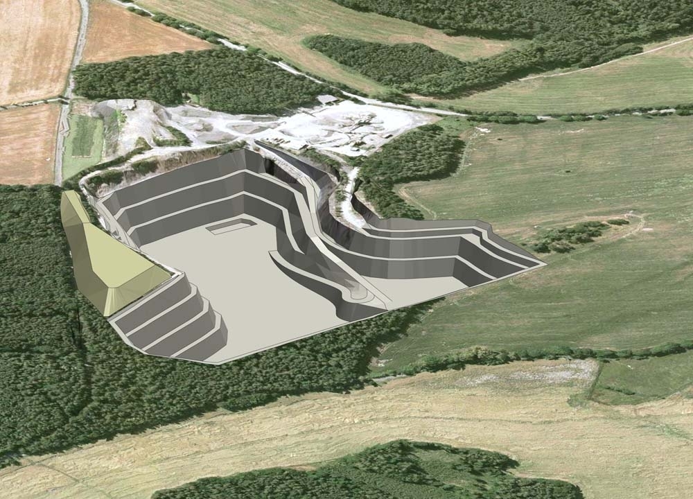
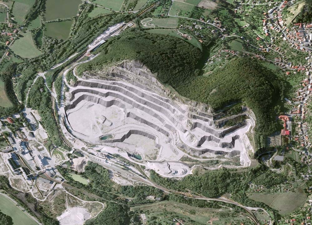
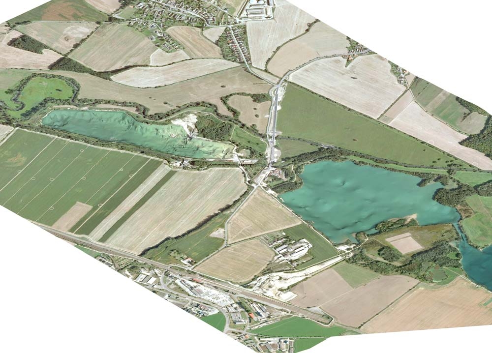
The visualisation of 3D digital model of mined and reclaimed gravel deposit


We offer, in the area of computer data processing:

  • Large-format scanning
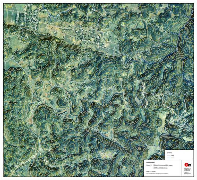
  • The vectorisation and georeferencing of raster documents
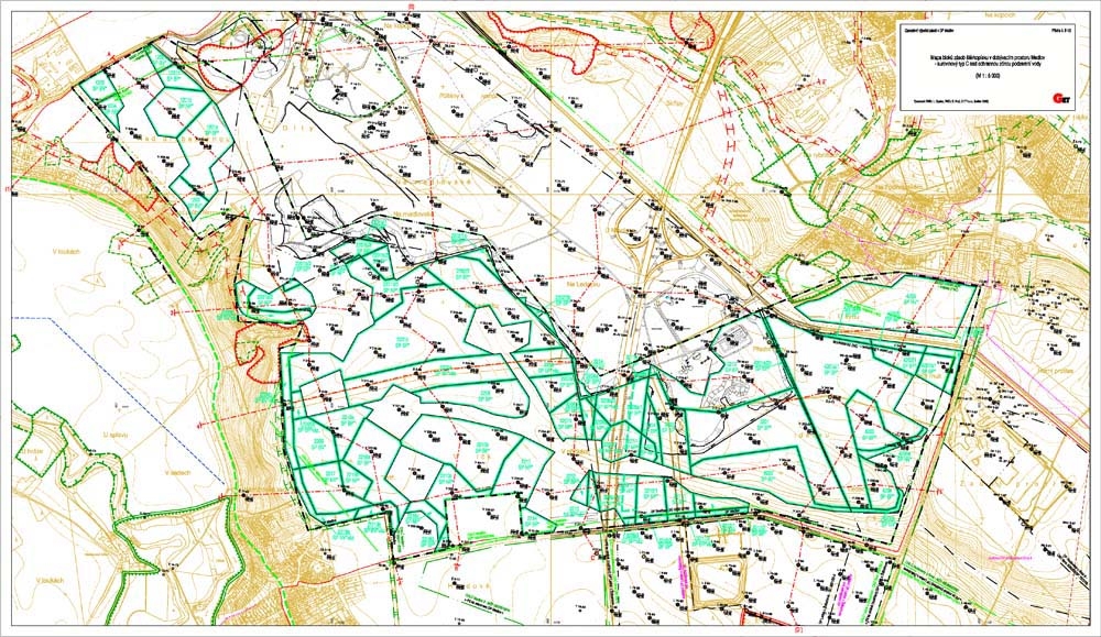
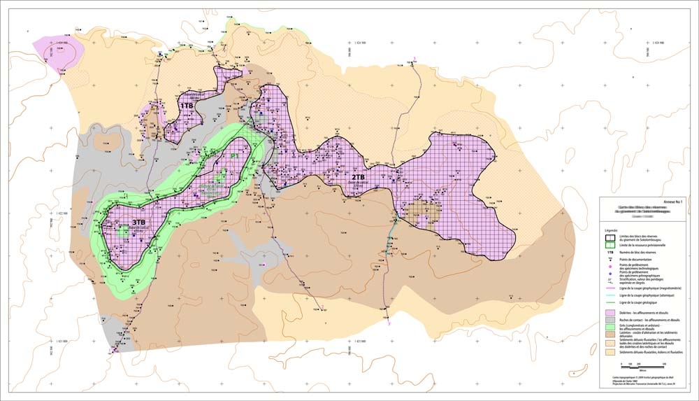
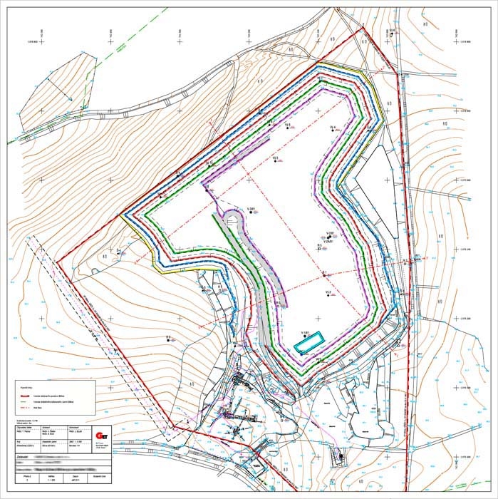
  • Creating and printing graphic appendices of reports (maps, cross-sections, borehole logs, diagrams, etc.)
  • The transformation of coordinate data
  • The creation of 3D digital terrain models (DTM)
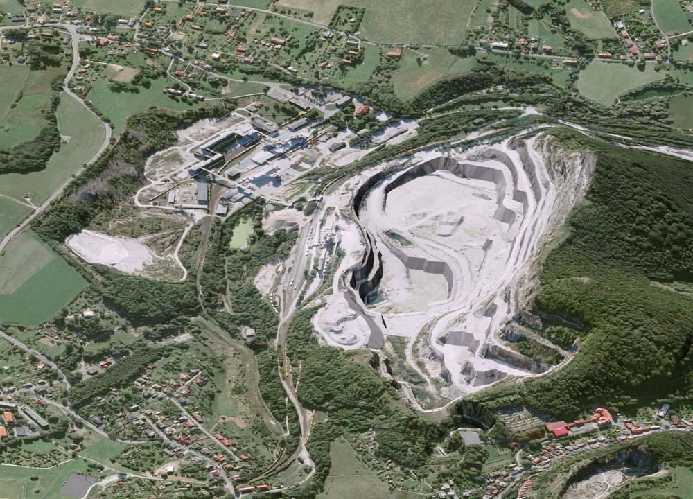
  • The visualisation of three-dimensional models
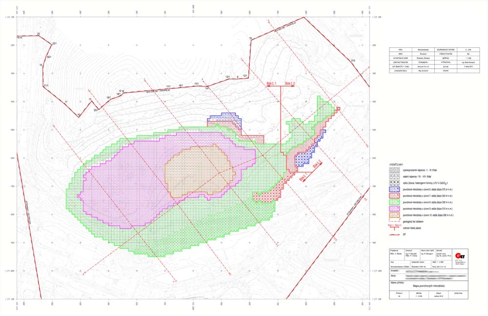
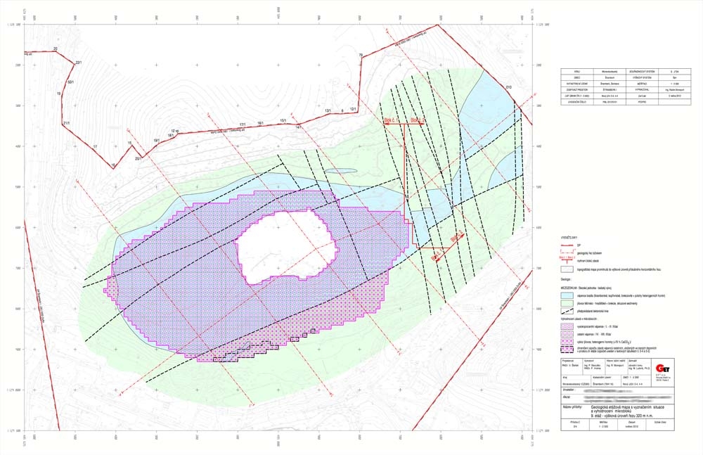
  • The creation of spatial models and/or temporal schedules of mineral deposits
  • Estimation of mineral resources and mineral reserves

Head of the Department of Computer Data Processing

RNDr. Bohumil Brož Tel.: +420 233 370 741 E-mail: broz@get.cz


Map of block reserves Geological map with blocks of resources Map of quality parameters of the raw material Map of projected reclamation work Map of block reserves
Map of projected reclamation work Map of projected mining Map of the exploration area Map of microblocks with qualitative parameters Map of microblocks with geological interpretation
Visualization of 3D model of mined deposit of building stone Visualization of 3D model of present state of the quarry Visualization of 3D model of projected state of the same quarry Visualization of 3D model of present state of the quarry Visualization of 3D model of present state of the kaolin deposit
Visualization of 3D model of present state of the clay deposit Visualization of 3D model of projected state of the quarry Visualization of 3D model of the limestone deposit Visualization of 3D model of the limestone deposit Visualization of 3D model of the sand and gravel deposit
Send inquiry

Not binding inquiry


  • Geology
  • Mining Projects
  • Surveying and Geodesy
  • The Environment
  • Data Processing
  • Geographic Information Systems
  • Geometric plans
  • Land Use Planning
  • Projects in the Czech Republic
  • Projects Abroad
  • Services
  • News
  • Contacts

Copyright © 2014 GET s.r.o.
designed by SpinMedia.cz