GET logo
  • News
  • The Company
    • History of the Company
    • Activities of the Company
    • Clients of the Company
    • Membership in Professional Associations
    • ISO Certificates
    • Careers
    • Downloads Available
  • Services
    • Geology
    • Mining Projects
    • Surveying and Geodesy
    • The Environment
    • Data Processing
    • Geographic Information Systems
    • Land Use Planning
  • Solutions
    • For the Mining Industry
    • For the Construction Industry
    • For Design and Architectural Offices
    • For Municipalities, Cities, Regions
    • For the Authorities of the Czech and Slovak State Administrations
    • For Agriculture and the Food Industry
    • For Churches and Religious Communities
  • Projects
    • Projects in the Czech Republic
    • Projects Abroad
  • Contacts
    • Headquarters
    • Branch Office Brno
    • Branch Office České Budějovice
    • Branch Office Liberec
    • Branch Office Teplice
    • Branch Office Úpohlavy
    • Slovak Republic
  • Čeština

  • Čeština
  • English


Services

  • Geology
  • Mining Projects
  • Surveying and Geodesy
  • The Environment
  • Data Processing
  • Geographic Information Systems
  • Land Use Planning

Solutions

  • For the Mining Industry
  • For the Construction Industry
  • For Design and Architectural Offices
  • For Municipalities, Cities, Regions
  • For the Authorities of the Czech and Slovak State Administrations
  • For Agriculture and the Food Industry
  • For Churches and Religious Communities

Fulltext

  • LETECKÉ SNÍMKOVÁNÍ

  • GEOLOGICAL DOCUMENTATION

    Geological documentation of mining

  • PEDOLOGY

  • AGRICULTURAL LAND RESOURCES

    The withdrawal of land from the agricultural land resources

  • Predictor – LimA

    Noise measurement and acoustic studies

  • GEOMINE

    GIS application for mining industry

Projects > Projects in the Czech Republic

Bratčice: a pedological survey for the exemption from the Agricultural Land Fund


Type of project:    Private project

Investor:    DRUMAPO Cooperative, Němčičky

Implementation period:    2013

Activities:

  • Research of archival data
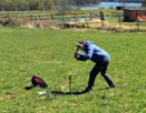
  • Field survey
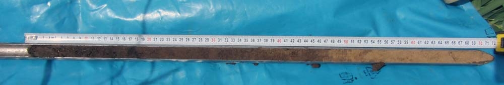
  • Determination of thickness of humus and subsoil horizons


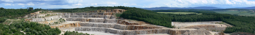
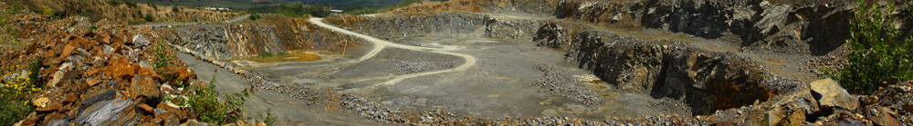
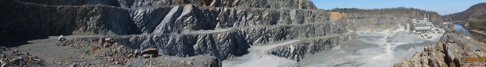
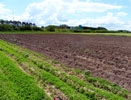
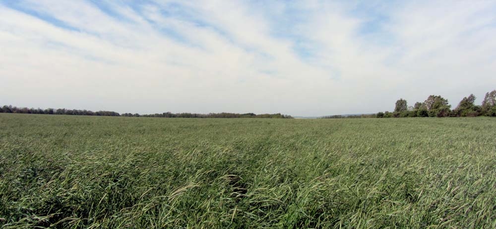
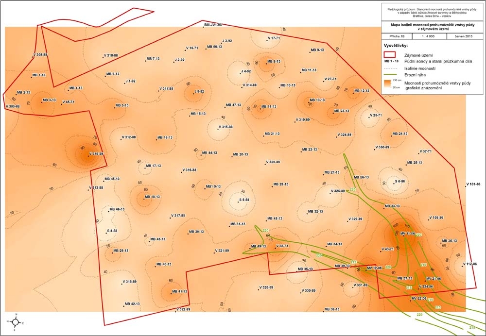
A comprehensive assessment of soil conditions for removal of land from the agricultural land was one of the initial documents for authorization procedure for opening new projected mining activity in the Medlov locality. Field works were focused on the documentation of the soil profile and the thickness of humus horizon and the subsoil. On an area of over 90 hectares were made 50 pedological probes to a depth of 60-90 cm. Thickness of the humus horizon was further precised by archival documentation exploration boreholes.

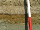
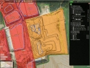
By the pedological survey has been detected predominance of the soil type chernozem modal, and in exceptional cases also modal fluvisols were observed. Three areas with different thickness of the organic horizon were defined.

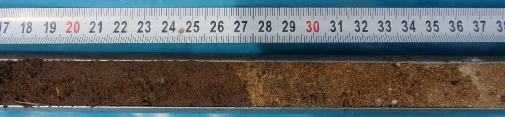
Thickness of the subsoil is relatively stable. The subsoil can be characterized as a transition zone from the humus horizon into the soil substrate, represented mainly by loess and less by sand and gravel. The transitional zone was observed in most of the probes the area of interest.


Panoramic view of the Bratčice locality A detail of the pedological probe MB 46-13 – a sharp transition from the humus horizon A into the substrate C The pedological probe MB 17-13 Isolines of thickness of humus horizon
Send inquiry

Not binding inquiry


  • Geology
  • Mining Projects
  • Surveying and Geodesy
  • The Environment
  • Data Processing
  • Geographic Information Systems
  • Geometric plans
  • Land Use Planning
  • Projects in the Czech Republic
  • Projects Abroad
  • Services
  • News
  • Contacts

Copyright © 2014 GET s.r.o.
designed by SpinMedia.cz